

Contact Doucet
Drop us a line and let us know how we can help...
Thank you! Your submission has been received!
Oops! Something went wrong while submitting the form.


Whitaker Field at Waller Creek Stream Bank Stabilization
Doucet provided bank stabilization services for three of the most severely eroded areas along the west bank of Waller Creek within the University of Texas Whitaker Field property boundary as well as preparation of a Master Erosion Plan for the Waller Creek along Whitaker Field. The existing Waller Creek was characterized by bank erosion, channel bottom down cutting, fallen tree trunks and limbs, significant amount of debris, significant amount of trees, and frequent wastewater line crossings.
The University of Texas was losing property and the eroded bank was a potential safety hazard for the athletic field users. To correct this, Doucet used stabilization techniques for the three most severely eroded areas that included placing limestone blocks, selected soil backfill, soil retention blankets and 2’ diameter rock riprap at the problem areas.
The City’s Austin Clean Water Program (ACWP) has a wastewater improvement project along a portion of the study area. Doucet coordinated with the ACWP director and project engineer to insure a seamless transition between the two projects. Towards this goal, Doucet assisted the project engineer in creating a Master Erosion Plan which included reviewing of peak discharges, channel velocities and shear, as well as identifying additional bank stabilization areas and locations of grade control structures. The Master Erosion Plan was presented to the representatives from the UT Athletic Department and was well received.


Los Indios Culvert Upgrade and Channel Improvements The Los Indios subdivision and Los Indios Trail are located in northwest Austin. The Los Indios Trail roadway was overtopped by Rattan Creek during the 10-year and greater return period storm events putting seven (7) homes in the vicinity of Los Indios Trail at risk of flooding in the 100-year storm event. Using on-the-ground topographic survey, Doucet developed alternatives to mitigate the culvert and local flooding problems and prepared construction plans for the proposed improvements.

Doucet performed a hydrologic and hydraulic study of the existing storm drain network in the lower Fort Branch Oak Lawn Subdivision area bounded by Springdale, Heflin, Webberville, and Ribecke roads. This area was identified as having localized flooding problems through the Fort Branch Watershed Integrated Solutions Study. As a result, new storm drain systems were designed to supplement the existing systems. The final design encompassed approximately 5,500 LF of storm drain pipe and 2,000 LF of water main.
Over 100 linear feet of existing 36” diameter concrete wastewater line lost the cover and backfill due to scour and downcutting of Country Club Creek just upstream of Grove Boulevard. The line was downstream of the Austin Community College Riverside Campus and many apartment complexes. The exposed line was vulnerable to being deflected with opening pipe joints and wastewater spills if not stabilized. We designed a stabilized riffle downstream of the problem area to stable upstream environment for the new backfill around the exposed wastewater line. To stabilize the exposed wastewater line, an external gasket was used at each joint. The final design included normal bedding for the pipeline to the haunch, rock ballast to the top of the pipe and top it off with 12” diameter rock riprap.
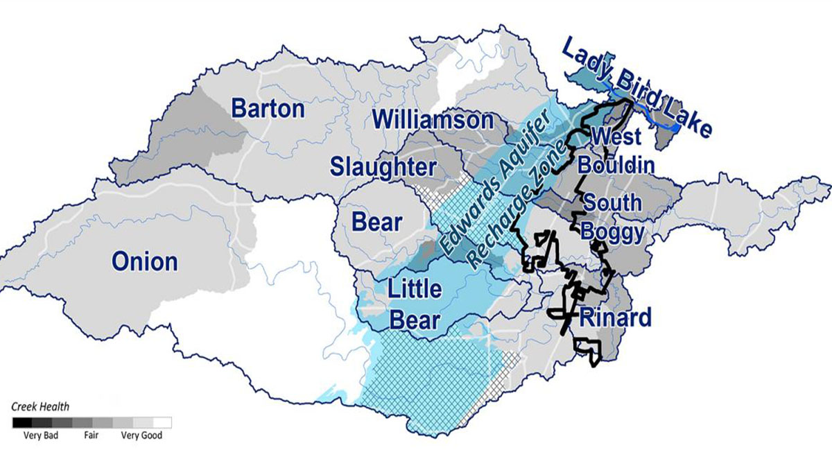
Most of the Austin’s watersheds, including urban and suburban watersheds, are drained by streams that exhibit existing creek bank erosion problems and have the potential for future creek bank degradation. The concern for future creek bank failures, long term channel degradation, and their impact to creekside residents and water quality initiated the City of Austin Drainage Utility Department to authorize the city wide watershed erosion assessments in January 1997. The 17 watersheds are as follows: Barton Creek Watershed Blunn Creek Watershed Boggy Creek Watershed Bull Creek Watershed Buttermilk Creek Watershed Country Club Creek Watershed East Bouldin Creek Watershed Fort Branch of Boggy Creek Watershed Johnson Creek Watershed Little Walnut Creek Watershed Shoal Creek Watershed Tannehill Branch of Boggy Creek Watershed Waller Creek Watershed West Bouldin Creek Watershed Walnut Creek Watershed Williamson Creek Watershed
Doucet prepared “natural channel” design which incorporated floodplain creation and bioengineering to maintain bed load transport and flow conveyance in a stable channel system.

Doucet stabilized the stream banks and maintained bed load transport. Different techniques such as geogrid, large boulders, erosion fabrics, and bioengineering were employed to manage the channel erosion while creating a natural channel appearance.


